Steinberg - Guffert - Steinberg
Important Infomation
🔖
Route Length
10.3 km
🜏
altitude meters uphill
1195 hm
🞍
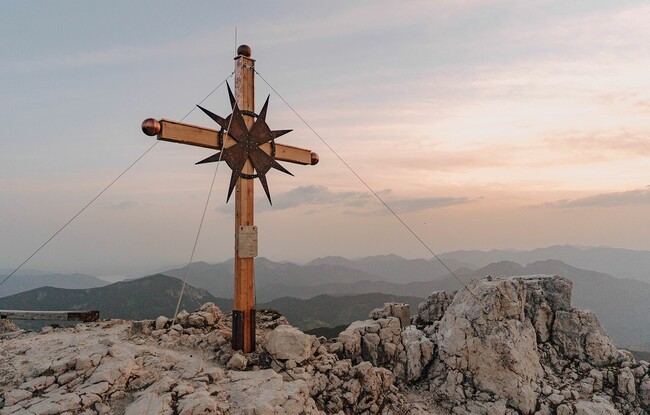
highest point
2195 hm
🔲
altitude meters downhill
1195 hm
Time Uphill
03:30 h
Time downhill
03:00 h
🏀
Route Time Total
06:30 h
🞽
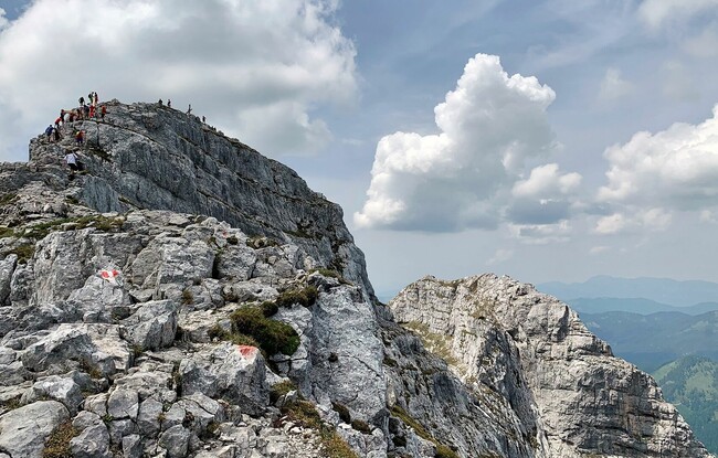
Difficulty
Hard
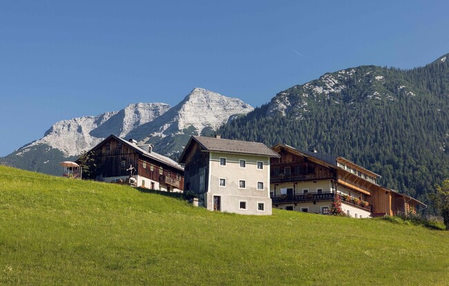
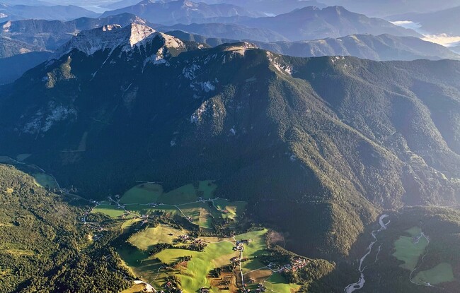
Starting Point: Steinberg am Rofan, inn Gasthof Waldhäusl
End Point: Steinberg am Rofan, inn Gasthof Waldhäusl
Best Season:
Altitude Profile
Description
From the car park at the inn Gasthof Waldhäusl, climb the steep trail to the Guffert. At an elevation of ca. 1,800 metres, you can make a detour to the Schmidtquelle (dried up spring). Follow the Guffertsteig as it climbs over rocky terrain between mountain pines. Continue along the ridge which is secured with a steel rope until you reach the summit (2,195 metres). The return is via the same route.
Back